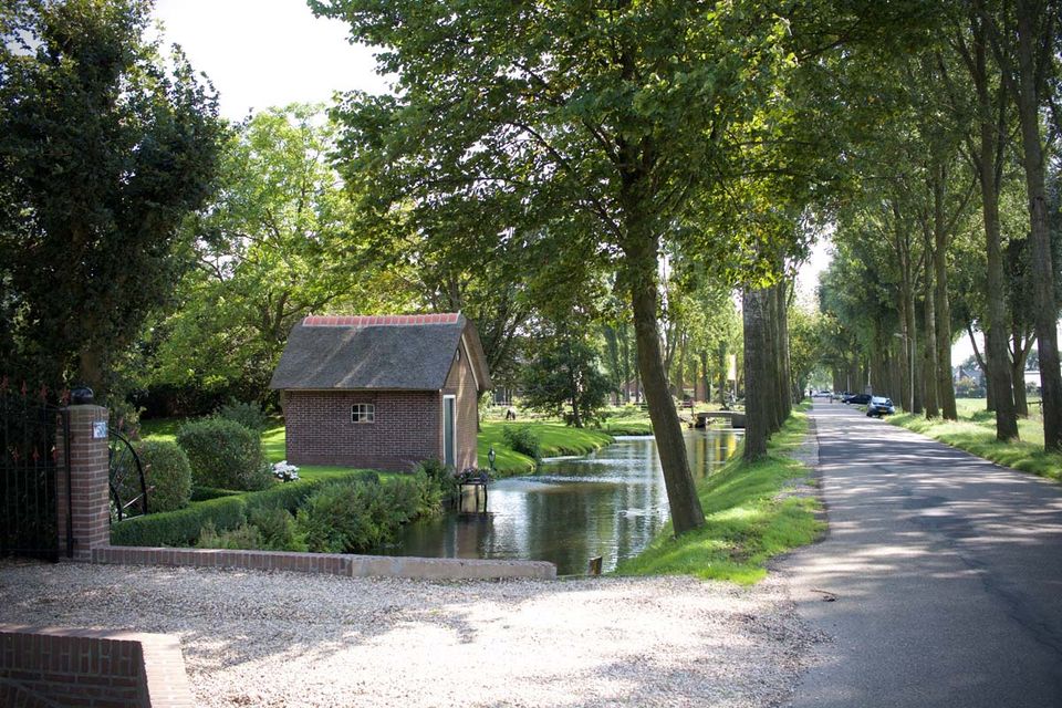
The name Zijderveld, from which Zijderveldselaan is derived, is closely related to the cope reclamations that took place in this area between the 11th and 13th Centuries. Zijderveld came from a ‘zijdewinde’, a transverse polder dike or wharf constructed in preparation for the systematic cope reclamation to protect the side of a reclamation block. The area was then reclaimed from axes perpendicular to this wharf. Zijderveldselaan is an example of such an axis. Only the eastern end of the lane lies in the built-up area of Zijderveld; the remainder of the lane consists of historic farms, including so-called hall houses, T-farms and stool houses (‘krukhuizen’).
To prevent flooding due to soil subsi…
The name Zijderveld, from which Zijderveldselaan is derived, is closely related to the cope reclamations that took place in this area between the 11th and 13th Centuries. Zijderveld came from a ‘zijdewinde’, a transverse polder dike or wharf constructed in preparation for the systematic cope reclamation to protect the side of a reclamation block. The area was then reclaimed from axes perpendicular to this wharf. Zijderveldselaan is an example of such an axis. Only the eastern end of the lane lies in the built-up area of Zijderveld; the remainder of the lane consists of historic farms, including so-called hall houses, T-farms and stool houses (‘krukhuizen’).
To prevent flooding due to soil subsidence, many houses on Zijderveldselaan in the late Middle Ages were built on natural or artificial elevations (mounds or ‘terpen’). On some farms, only the barn was built on a mound to protect cattle. The oldest farms on Zijderveldselaan date from the 17th and 18th Centuries and are situated to the north side of the road. These farms can be accessed via ordinary bridges over a roadside ditch.
Further reading: Zijderveld village centre, Zijderveld church, Cope reclamation, Essensteyn farm, Rustenburg farm.
